Actual Miles Driven Today - 243
 |
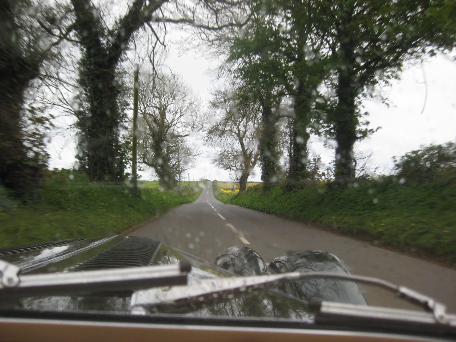
Ready to Leave the Rhyd Country Hotel
As usual I took my photos of the Mog with Hotel along with the Owners Young Son, who had a fabulous camera for his shots.

The Hotel Owner proved to have a strong interest in Classic Cars.
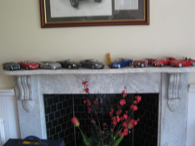
The Hotel Owners collection of model cars.
I then left to re visit Aberporth village before travelling South again.

At this point I was heading slightly north again to visit Aberporth Bay recommended by the Hotel Owner.


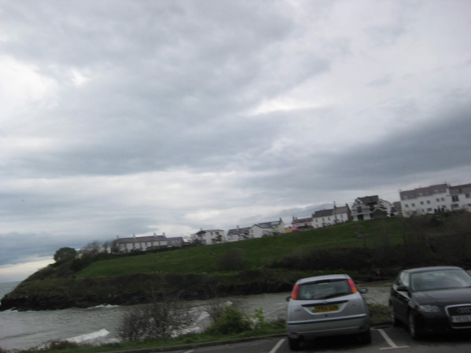
The Bay


As usual I took my photos of the Mog with Hotel along with the Owners Young Son, who had a fabulous camera for his shots.

The Hotel Owner proved to have a strong interest in Classic Cars.

The Hotel Owners collection of model cars.
I then left to re visit Aberporth village before travelling South again.

At this point I was heading slightly north again to visit Aberporth Bay recommended by the Hotel Owner.


The Bay


At the
top of the hill I met a lady with her dog who was interested in making
an on line donation so I presented her with a copy of the H4H brochure with my link.
I had to refuse her offer of a coffee as I need to get going along the coast again.
I had to refuse her offer of a coffee as I need to get going along the coast again.
 |
Over Aberporth |
Mine Host, Nigel, suggested that I visit the area of Mould for its beauty. I saw the sign so off
I went.


Aberporth Bay from the other side of the bay.

Another long Single Track Road to be navigated to get to Mould.


Aberporth Bay from the other side of the bay.

Another long Single Track Road to be navigated to get to Mould.


Standing on the Cliff Top overlooking Mould bay
 |
The Cliff Walk at Mould |
Down and down this very narrow single track road. It turned
out to be a National Trust Cliff Top car park and steps down to
somewhere.


More photos and the off again via another much wider road.

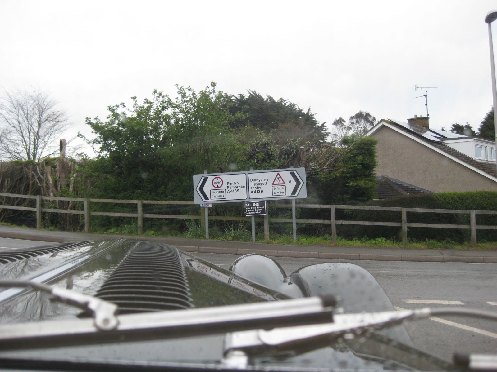
Into Cardigan

Stopping at a rare octagonal STOP sign before turning right.

Cardigan was disappointing in that it is so small. I went around the 'one way' system twice

This miss taken shot tells me I am about to cross Priory Bridge

From the bridge, Hood Up to avoid the regular downpours.


The narrow winding roads.

Setting off for the tiny village of Nevern.

Along the way I spotted
this Two Tone Austin Classic parked on the verge.


The Village Hall with a much needed public toilet due to the sound of that rushing water.


The Village Hall with a much needed public toilet due to the sound of that rushing water.

The River at Nevern was
running very fast after the heavy rain of yesterday.

It was not long before I arrive on the outskirts of Newport.

It was not long before I arrive on the outskirts of Newport.

On into Newport, another
small town. It was still raining consistently.


Approaching the Port of Fishguard


Approaching the Port of Fishguard


At Fishguard, there was
a Stenna Sealink Ferry to Ireland moored in the port.

Fishguard Bay

Fishguard Bay
Getting through the town to
Goodwick on the other side of the Harbour was the first confusion of the day.
After the second circuit and a good guess I found the through road.

I stopped off in a small Tesco Store for some supplies and took a welcome coffee from this machine at the garage next door.
These
machines make a nice cup of Cappuccino and according to Patrick at Menai House
Hotel, they cost a few £k to buy.


I was soon passing another collector of Classic Cars, American this time.

More old American Cars in a front garden.


I was soon passing another collector of Classic Cars, American this time.

More old American Cars in a front garden.

I found the wrong way
out of town onto more single tracks but did eventually find my way to
the small 'City of St David'.


The City of St Davids. The Cathedral and Bishops Palace are out of town on the coast somewhere.

I wonder if those castellations over the orange house are on the Cathedral?

I spot this sign leading to a National Trust Car Park where I plan to make a short stop for my sandwich lunch.
At the tiny river harbour of the village of Solva, called Porthclais, I found these old Lime Kilns
At the tiny river harbour of the village of Solva, called Porthclais, I found these old Lime Kilns

I took a short walk along the river bank and came across these ancient Lime Kilns.

It was far to wet to use that Picnic Tables

Inside one of the disused Lime Kilns

A Navigable River at High Tide.


A National Trust sign pointing to a refreshment stall which, needless to say, was closed.


A Sign of local Fishing moored in the next field?

Lunch break over, I make my way through the small town.


A useful observation room.

A home built in a curve.

The road appears to have been cut into the rocks here.

I appear to be following another small inlet river.

The almost empty car park at Solva provides another opportunity for a short stop.

I stopped at the Car Park for these photos.

Across the river I spot a line of some more old Lime Kilns - another sign of this past industry.

Near to me was a Waste Tanker with its hose and a man in the river.
I asked them if they were putting in or taking out? No reply. No Photos!

When the tide is in these small boats have an easy access to St Brides Bay.

Another narrow road bridge requiring care as the priorities change.

Another priority change ahead.

That is better. An open road again.

I came across Cawdor Barracks, home of 14th Signal Regiment (Electronic Warfare).
Once again, I popped into the Guard House to request this photo before moving on.

Electronic Warfare sounds an interesting concept. - One dirty Mog.

Ah! St Brides Bay in the distance.


On through Newgate with
fabulous views along the bay.
Onward along the coast I managed to
bypass Haverfordwest.


The Bay still seems to be a long way off as the road winds its way down the hill.


The inevitable 'S' Bend at the bottom.

I can imagine an angry sea crashing over this high bank on my right.


I stopped of at the Pembrokeshire Motor Museum and Cafe where I had a nice cup of tea and a muffin before making a tour of the exhibits. .

Photo Shot at the Motor Museum


As with many family museums, this one is an Aladdins Cave of Motoring Memorabilia.


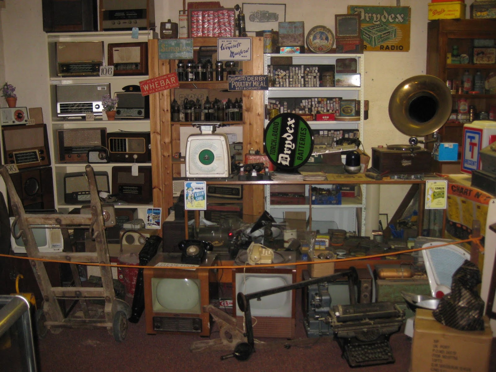
I think that this museum contains something of everything.

The sands along this bay look gorgeous. If only I had the time to stay a while.


At the end of the bay we are approaching Little Haven.


Lovely winding roads down into the village.


At Beach Level, Little Haven lives up to its name.

In no time at all we are climbing out of the village once more.


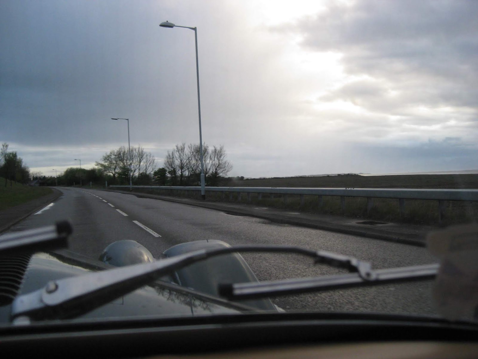
As I skirted the Dale Peninsula on through Sandy Haven until views of the Refinery at Milford Haven.


Arriving at Milford Haven too early in my plan.


Another confusing doubling back to get to Pembroke Docks and Pembroke Town.


On the way out I stopped at the Horse & Jockey to put the hood up and received a £2 donation from a lady on the School Run.

Just in time as the heavens opened and down came the rain.


Crossing Milford Haven towards Pembroke.


The High Bridge across
the Haven has a £0.75p toll. At the Docks I found this Martello Tower.


Pembroke Docks


Through Pembroke I managed to get just one shot at the castle as I approached the bridge.


Through the centre of Pembroke.


The Refinery

The Haven from the top of the hill.

My next main town on the coast will be Tenby.
The road around the headland through Stackpole to Lamphey was another series of single tracks with no signposts.

I had no idea where I was or where I was going as there were no sign posts anywhere.

Deep among the Sand Dunes the sand covered roads were also flooded.
The worst part was through these Sand Dunes where there were large pools of sandy rainwater across the road. Sand gets in everywhere.


As I look back over my head I finally escape the Dunes.
The Castlemartin Road
then crosses Tank Training Ranges marked by Red Flags which if flying
mean the road is closed.
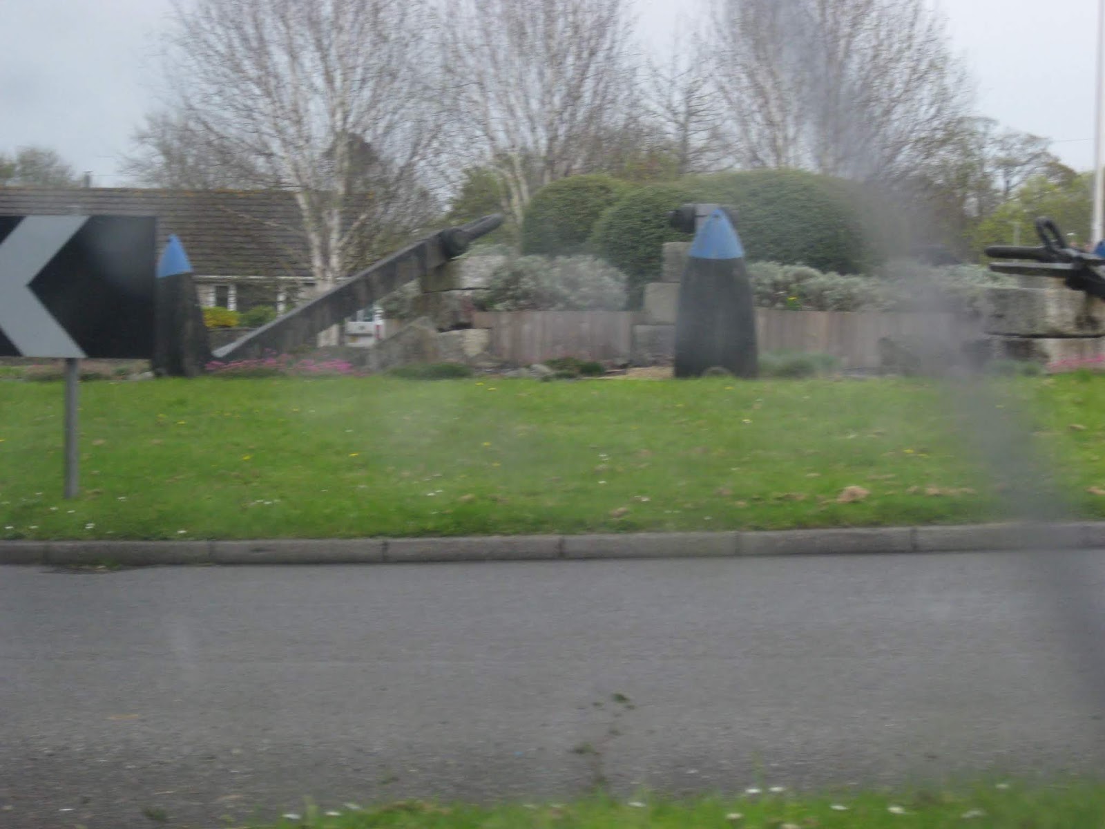
I passed the main gate
of Castlemartin Ranges at Marion where these two magnificent tanks are
on display at the Main Gate.


Further along the road
was another Dreaded Flood right across the whole road.
This 'Over the Shoulder' shot shows that I traversed it without incident.
This 'Over the Shoulder' shot shows that I traversed it without incident.


At last, a signpost for Tenby
At Manorbier I found the Air Defence Training Estate .


Entering Tenby, following the Castle Walls.

The walled town of
Tenby was an interesting run around trying to find the road to
Saundersfoot.


Negotiating the narrow streets of Tenby.


This is the nearest that I would get to the beautiful beach at Tenby.


Approaching the beach at Saundersfoot


Looking across the bat towards Pendine. Sadly, I was running out of time and did not visit those famous sands renowned for historic motor racing and speed trials.

The heavens opened once more and
blackness descended as I travelled across to St. Clears and Carmarthen.
It was horrible driving along that road.
Carmarthen was even
more frustrating as I failed to find the A484 south to Kidwelly. It
is not mentioned anywhere and I found myself on the road north.

The run into Carmarthen was awful being wet and this horrible rain never let up all day

Carmarthen Courthouse.


Making my way in darkening skies as I approached the town of Kidwelly.

As I was passing Burry Port I noticed a sign pointing down a side road to this famous monument to flyer Amelia Earhart. That was a very lucky find.
http://www.ameliaearhart.com/


The Monument.
I eventually found Llanelli and swung onto the Gower Peninsular. It was here, after arriving near the Worms Head end, that I got lost just as it was starting to get dark.
The only way I could find my way out of there was to turn around and retrace my route back until I found a Sign Post to point me in the right direction.
Eventually I had to
retrace the road back to Llanrhidian from where I took the B4271
Moorland Road into Swansea rather than risk more confusion in the
dark.


Entering Swansea


Entering Swansea


It was now quite dark and I missed the A463 coast
road to Port Talbot I ended up on the M4 Motorway finally arriving
at the hotel at 9pm in total darkness.

Despite these photos it is quite dark outside and I cannot wait to get to the hotel.


Not that helpful when navigating by Signposts.


Eventually I arrive in Port Talbot at my hotel for the night.
I had originally planned to stay in a small village nearby but once I checked for parking facilities they could not guarantee an overnight place for my Morgan.
Despite my frustration at the end of the day it had been a lovely journey.
No comments:
Post a Comment